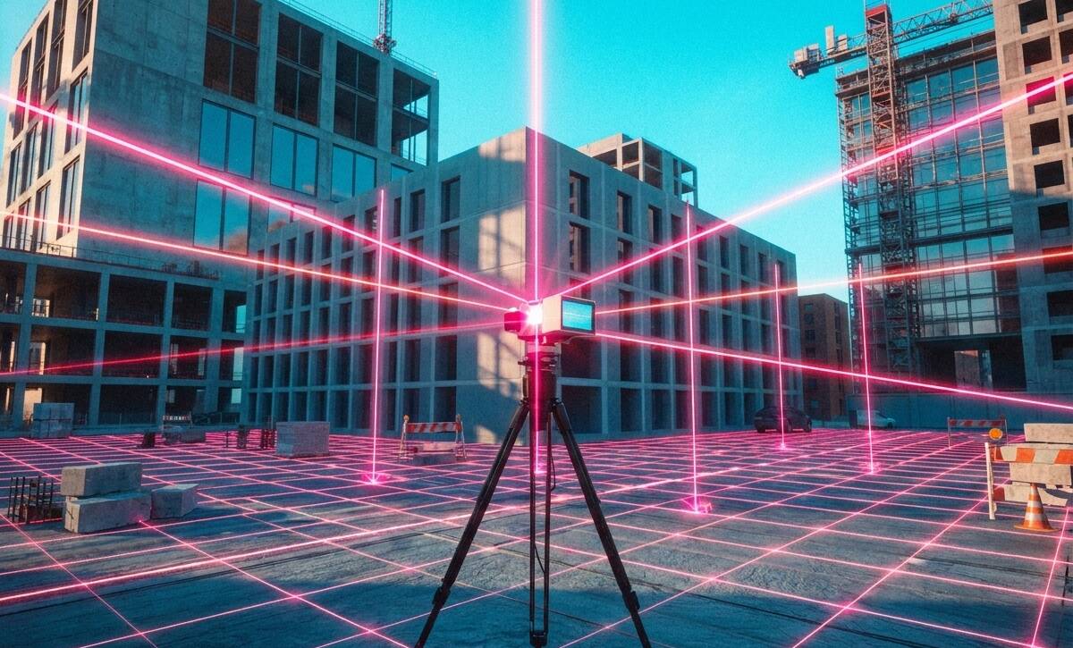
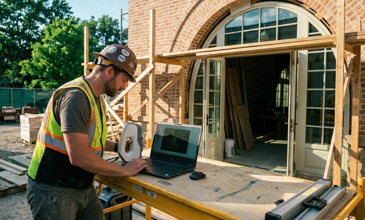
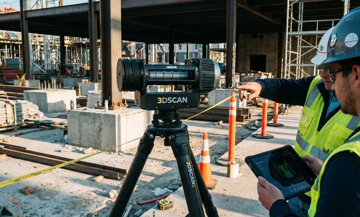
Terrestrial Laser Scanning (TLS) enhances construction and BIM by providing precise site data for planning, coordination, clash detection, and renovations, improving accuracy, efficiency, and reducing risks.
Terrestrial Laser Scanning (TLS) enhances construction and BIM by delivering precise as-built data, improving coordination, enabling accurate scan-to-BIM models, clash detection, and de-risking renovations for smoother, efficient projects.
Terrestrial laser scanning in St. Louis enhances construction and BIM by providing fast, precise as-built data and detailed point clouds for accurate modeling, efficient MEP coordination, and reduced project delays.