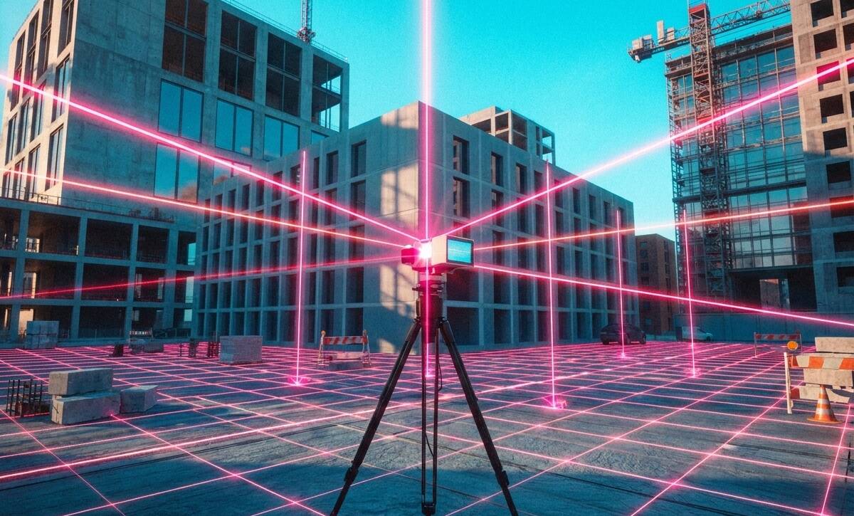
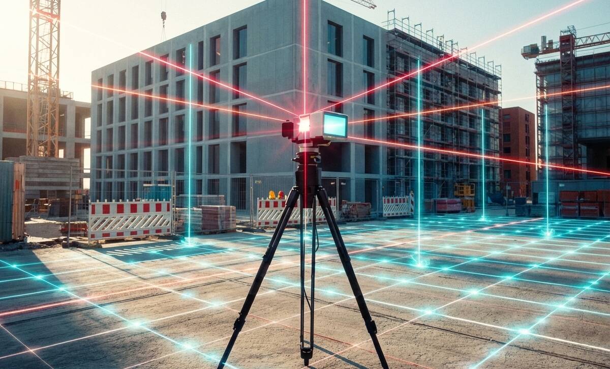
Terrestrial Laser Scanning (TLS) enhances construction and BIM by providing precise site data for planning, coordination, clash detection, and renovations, improving accuracy, efficiency, and reducing risks.
Terrestrial laser scanning (TLS) by 3D Scan STL delivers precise 3D site models that enhance construction planning, BIM coordination, renovation accuracy, and quality inspections, reducing costs and delays.