
Terrestrial Laser Scanning for Construction and BIM: Large-Scale Reality Capture with Precision in St. Louis
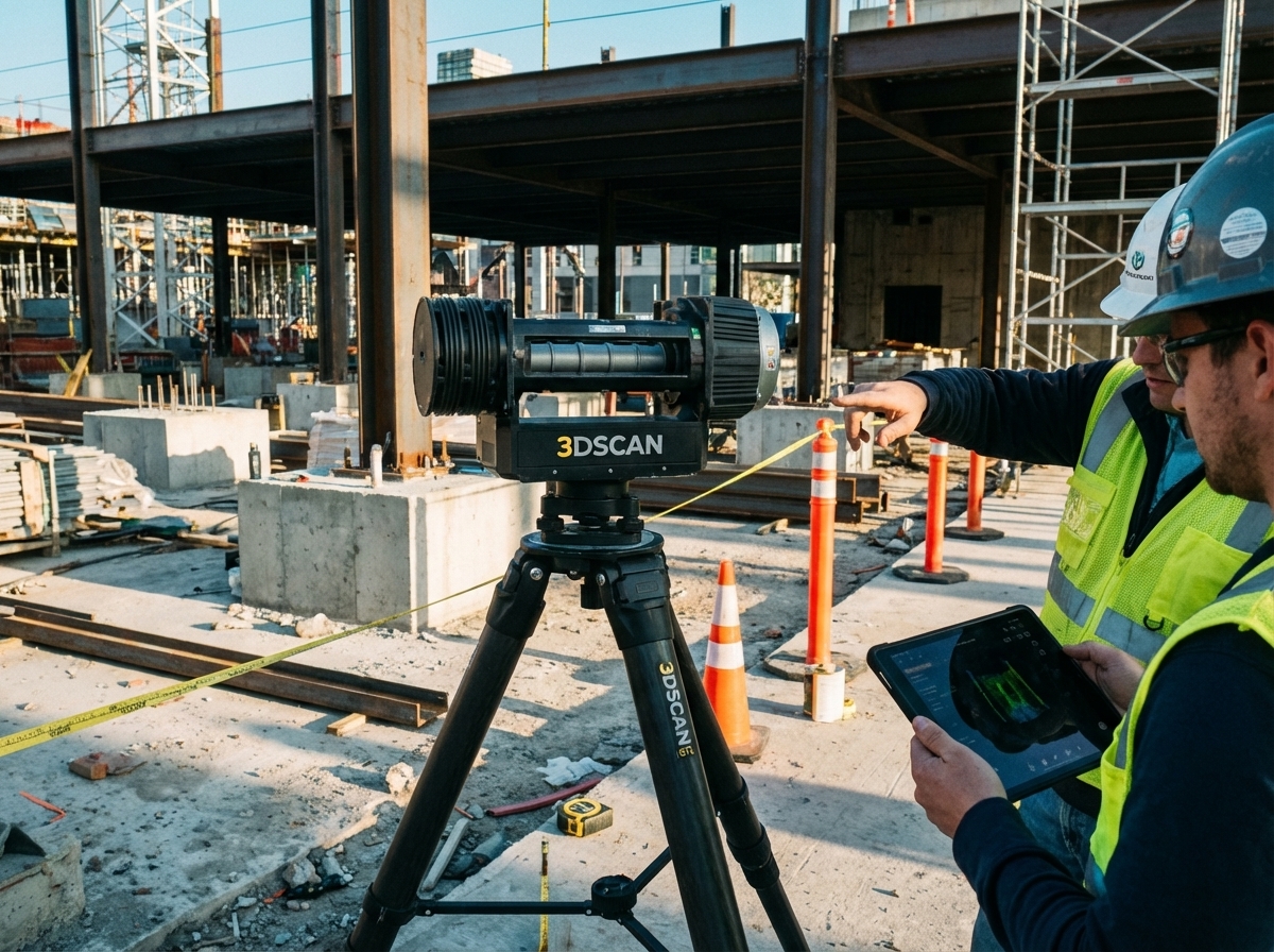
Terrestrial laser scanning has changed how construction and BIM teams capture large spaces in St. Louis. If you rely on outdated measurements or slow field workflows, your projects risk costly delays and rework. Using TLS, you get fast, precise as-built documentation and detailed point clouds ready for Revit and Navisworks. In this post, you’ll see how 3D Scan STL’s local expertise and advanced scanning tools make reality capture straightforward and reliable for your next project.
Accelerating Construction with TLS
Imagine finishing your construction projects faster and with more accuracy. That’s the promise of terrestrial laser scanning (TLS). By adopting TLS, you enhance not only speed but also the precision of your work. This section will guide you through the unique benefits of laser scanning and its role in capturing as-built documentation accurately.
Benefits of Laser Scanning
Laser scanning offers a new level of precision for your projects. Through laser scanning, you can gather detailed measurements of large spaces quickly. Picture capturing millions of data points within minutes. This method doesn’t just save time; it significantly reduces human error. The accuracy is unparalleled, ensuring fewer mistakes in measurements. Consider how this can transform your workflow. Traditional methods often missed details, but with TLS, you capture every nook and cranny. This level of detail means fewer surprises later, translating into smoother projects and happier clients. Laser scanning makes complex tasks simpler, offering clear, precise visuals that everyone on your team can understand.
Role in As-Built Documentation
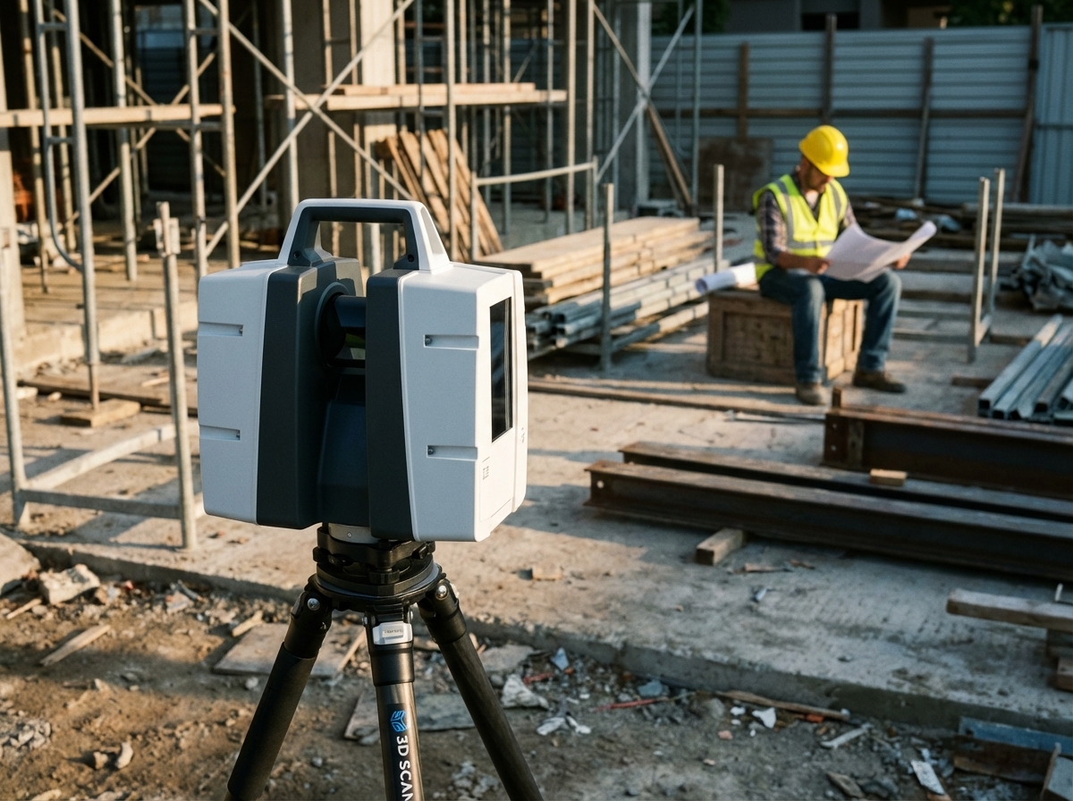
As-built documentation is vital for any construction project. Using TLS, you can create exact replicas of your work. No more guessing or relying on outdated plans. Your team gains access to precise, up-to-date information. This documentation helps in planning future modifications and ensuring that everything aligns perfectly with the original design. Think about how much easier it becomes to manage changes or address issues when you have an accurate as-built record. Your clients will appreciate the transparency, and your team will work more efficiently. Ultimately, this leads to projects that are completed on time and within budget.
Precision in Scan to BIM
Now, let’s explore how TLS fits into the scan-to-BIM process, offering unmatched precision. This section highlights the importance of high-fidelity point clouds and how they support efficient MEP coordination.
High-Fidelity Point Clouds
High-fidelity point clouds are the cornerstone of accurate digital models. When you use TLS, you generate point clouds that capture every detail, no matter how small. This precision is essential when transitioning to Building Information Modeling (BIM). Consider the impact: with detailed point clouds, your BIM models reflect true on-site conditions, allowing for more informed decision-making. This accuracy is particularly useful in spotting design discrepancies early, avoiding costly rework. When your models are precise, you build confidence in your planning and execution. Everyone from architects to engineers benefits from this clarity, enhancing collaboration across teams.
Efficient MEP Coordination
In construction, MEP systems can be challenging to coordinate. TLS simplifies this by providing reliable data for mechanical, electrical, and plumbing (MEP) systems. With accurate point clouds, you streamline MEP coordination, reducing clashes and errors. Imagine resolving potential conflicts before they impact the build. This proactive approach saves time and money, ensuring systems are installed smoothly and function as intended. You not only improve efficiency but also enhance the quality of your projects. Teams can focus on delivering exceptional results rather than troubleshooting avoidable issues.
St. Louis 3D Scanning Solutions
With a solid grasp of TLS benefits, let’s focus on local solutions. St. Louis offers unique opportunities for rapid mobilization and comprehensive project assessment.
Local Expertise and Rapid Mobilization
Choosing a local expert like 3D Scan STL brings tailored solutions directly to your project site. The advantage of local expertise is immediate support and quick mobilization. Imagine having a team ready to deploy with minimal notice, understanding local regulations and challenges. This accessibility ensures your project kicks off without delay, keeping timelines intact. Moreover, with regional knowledge, your projects benefit from solutions that consider local conditions. You gain a partner who not only provides cutting-edge technology but also delivers insights specific to St. Louis and the Midwest.
Comprehensive Project Scoping and Assessment
A thorough project scope is the bedrock of successful execution. With comprehensive assessments, 3D Scan STL ensures every project’s unique needs are met. Accurate scoping allows for better resource allocation and risk management. By identifying potential issues early, you avoid unnecessary obstacles. This strategic approach empowers you to make informed decisions, optimizing project outcomes. You’ll appreciate the attention to detail that comes with a dedicated local partner. With 3D Scan STL, you receive not just a service, but a commitment to excellence, ensuring your projects meet the highest standards.
In conclusion, terrestrial laser scanning offers tremendous advantages for construction and BIM. By leveraging local expertise in St. Louis, you can transform your project execution, ensuring precision, efficiency, and success.